Pitman
Forum Guru
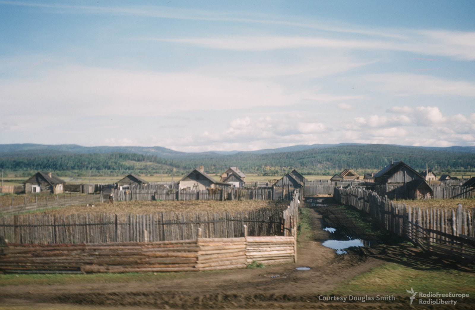
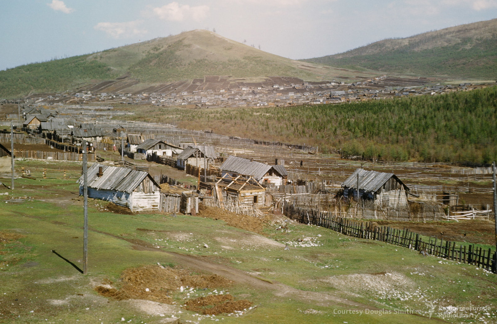
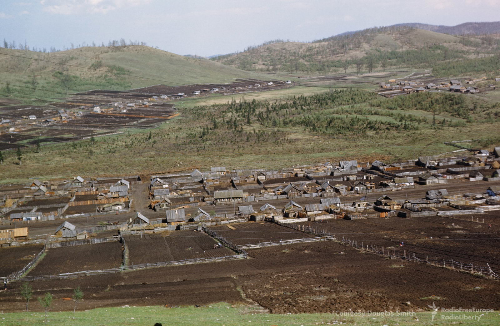
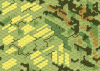
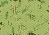
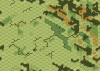
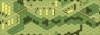
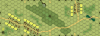
Some time back, I used Google Earth to examine small villages/hamlets in southern Russia, in the geographic area roughly surrounding Kursk.
What I found surprised me, as the most common type of village that I saw had never been represented on ASL geoboards. These villages were long, narrow strips of wooden huts/houses that would stretch on either side of a road. Behind each hut/house would stretch a small field, garden, pasture, orchard, or what-have-you, typically enclosed by a wooden fence. These areas would typically be about one hex or two hexes in size, in ASL terms.
I was recently looking at a photo-essay with color photographs of the Soviet Union during the Stalin era and a couple of photographs showed exactly this type of village. I am including several examples below. The whole essay can be seen here: https://www.rferl.org/a/the-manhoff-archive/28359558.html
I think ASL geoboard designers ought to get to work designing some geoboards that feature this distinctive type of terrain.
")