DWPetros
Senior Member
- Joined
- Sep 27, 2016
- Messages
- 218
- Reaction score
- 502
- Country
-

Maybe this has been discussed, but not as much as it could. HASL theme / standard size geoboards. A 'hybrid' board. Here's the idea:
The idea in is to prepare HASL/geoboards which have as their main terrain theme the location of a historical battle; a village, part of a city, or hill, etc, designed to be used in conjunction with the other non-historical geoboards. Because the majority of the historical battle (maybe 80% or so) was fought over specific terrain, the balance of the geoboard area would be used to replicate the ‘lay-up’ areas. Call it the 80-20 rule.
In fact, the recent AP14 board 12a - was based on a historical village in Normandy (St. Lambert Sur Dive). The road network was re-jiggered to allow it to mate with other geoboards.
There are other candidates for this treatment.
Normandy: St.Mere Eglise, Carantan, or Focarville, Hill 30, or Hill 112 are possibilities.
East front: the villages of Teploye, Cherkasskoye, State Farm 1, Hill 253.5 to name a few around Kursk.
There might be a need to abbreviate slightly the actual size of the historical area depicted in order to fit it properly on a geoboard, but the sacrifice would be worth the benefit of having some terrain that would represent the point of the action comparatively well.
Design/Development
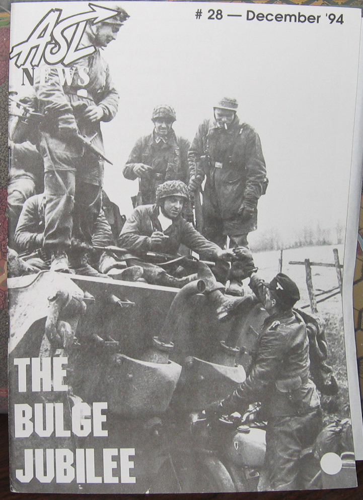
Other possibilities are pretty wide open. I can think of several smaller battles that were confined to a location that would be pretty easy to represent ASL-wise. (other theaters: PTO, Korea, and certain smaller sub-battles at Market Garden, Falaise, Bulge, Remagen, Ruhr Pocket, Aachen, San Pietro) And we have now many current geoboards that would match up well in order to depict the historical battle in a much more historical way. These new boards could be grouped into a pack (ie. AP), or used solo in a Journal.
The idea in is to prepare HASL/geoboards which have as their main terrain theme the location of a historical battle; a village, part of a city, or hill, etc, designed to be used in conjunction with the other non-historical geoboards. Because the majority of the historical battle (maybe 80% or so) was fought over specific terrain, the balance of the geoboard area would be used to replicate the ‘lay-up’ areas. Call it the 80-20 rule.
In fact, the recent AP14 board 12a - was based on a historical village in Normandy (St. Lambert Sur Dive). The road network was re-jiggered to allow it to mate with other geoboards.
There are other candidates for this treatment.
Normandy: St.Mere Eglise, Carantan, or Focarville, Hill 30, or Hill 112 are possibilities.
East front: the villages of Teploye, Cherkasskoye, State Farm 1, Hill 253.5 to name a few around Kursk.
There might be a need to abbreviate slightly the actual size of the historical area depicted in order to fit it properly on a geoboard, but the sacrifice would be worth the benefit of having some terrain that would represent the point of the action comparatively well.
Design/Development
Other possibilities are pretty wide open. I can think of several smaller battles that were confined to a location that would be pretty easy to represent ASL-wise. (other theaters: PTO, Korea, and certain smaller sub-battles at Market Garden, Falaise, Bulge, Remagen, Ruhr Pocket, Aachen, San Pietro) And we have now many current geoboards that would match up well in order to depict the historical battle in a much more historical way. These new boards could be grouped into a pack (ie. AP), or used solo in a Journal.
") But reconsider...
But reconsider...